Musée d’Aquitaine, salles XXe - XXIe
Bordeaux
Bordeaux
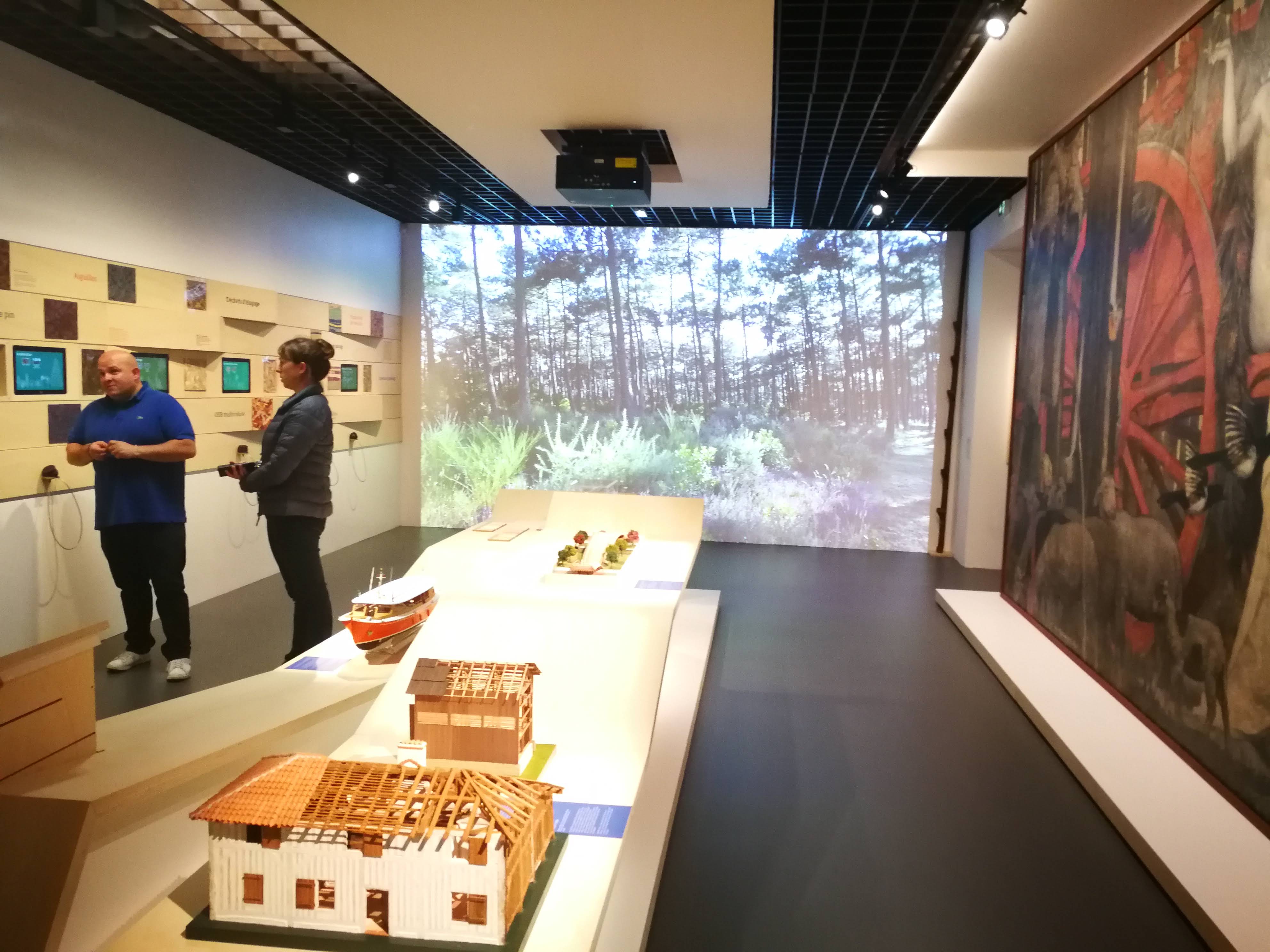
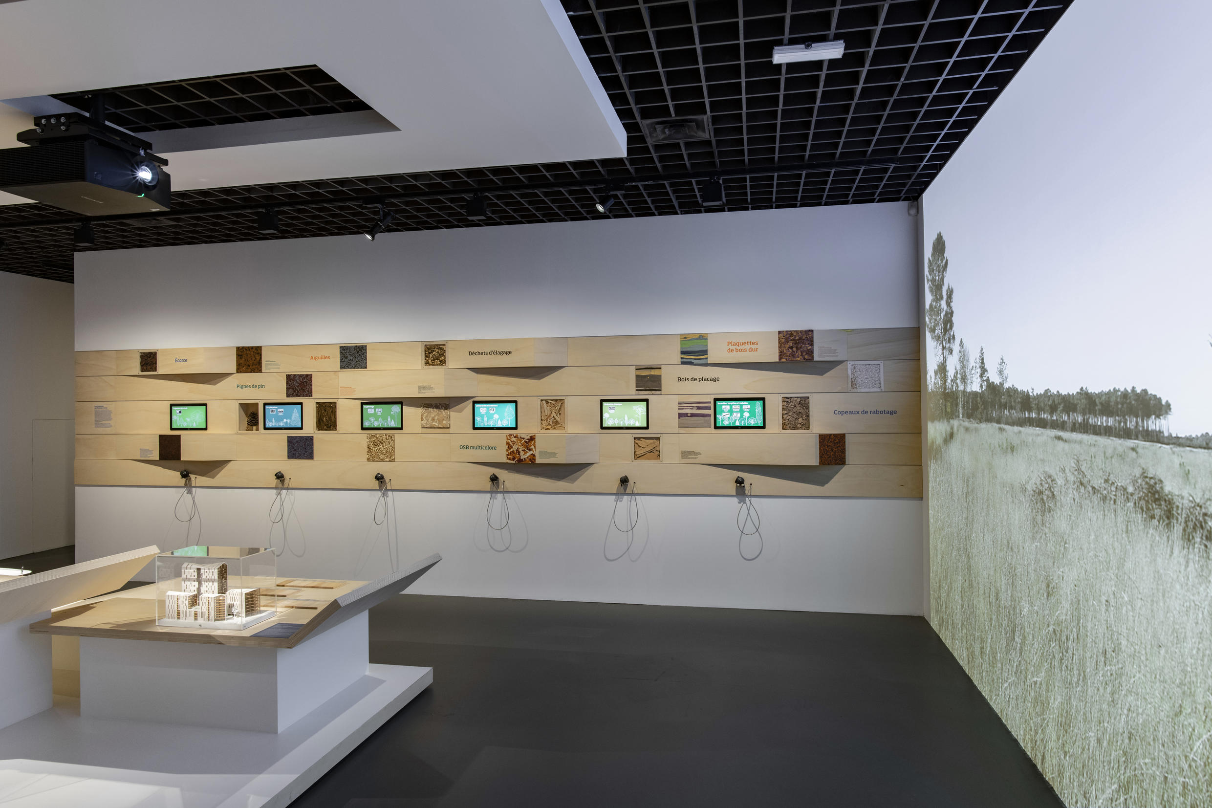
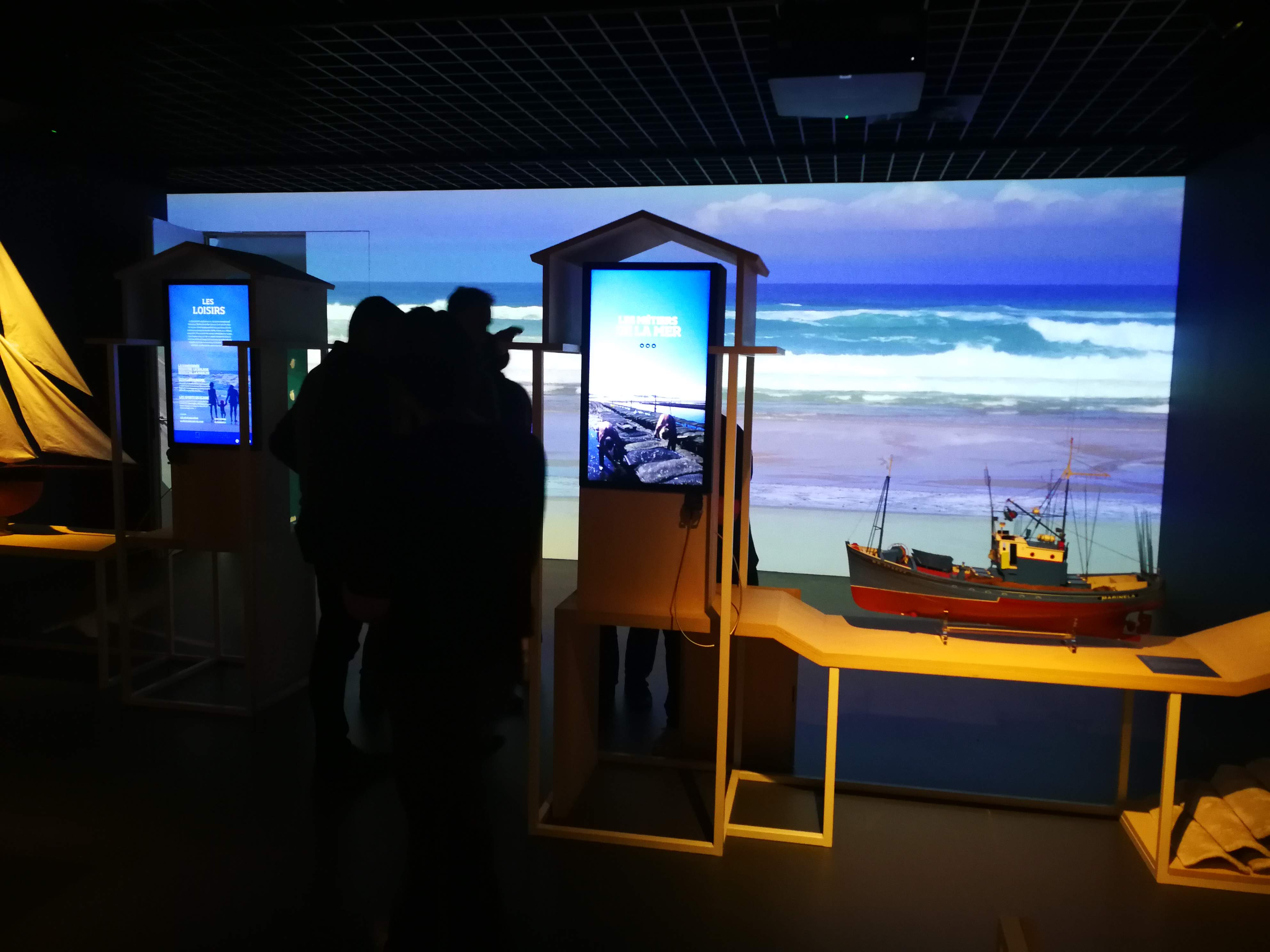
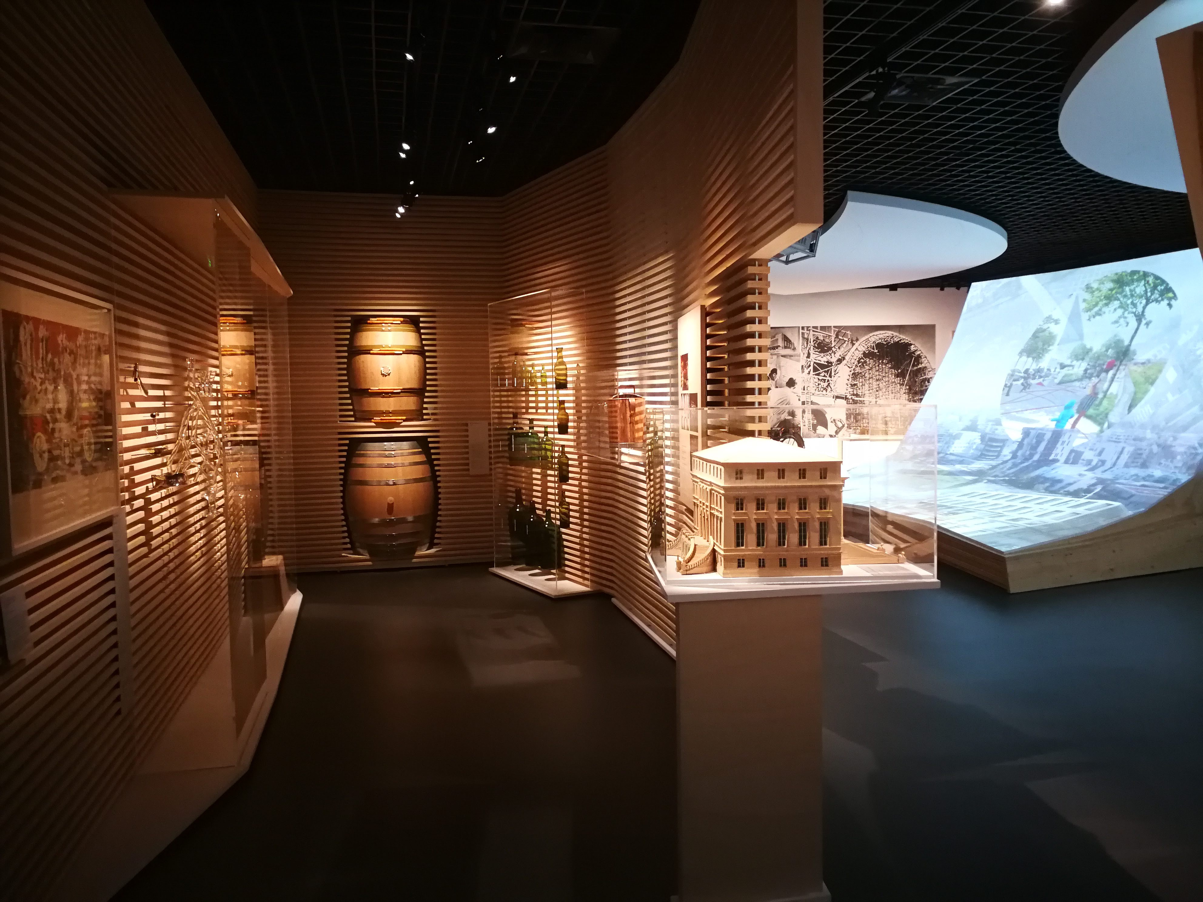
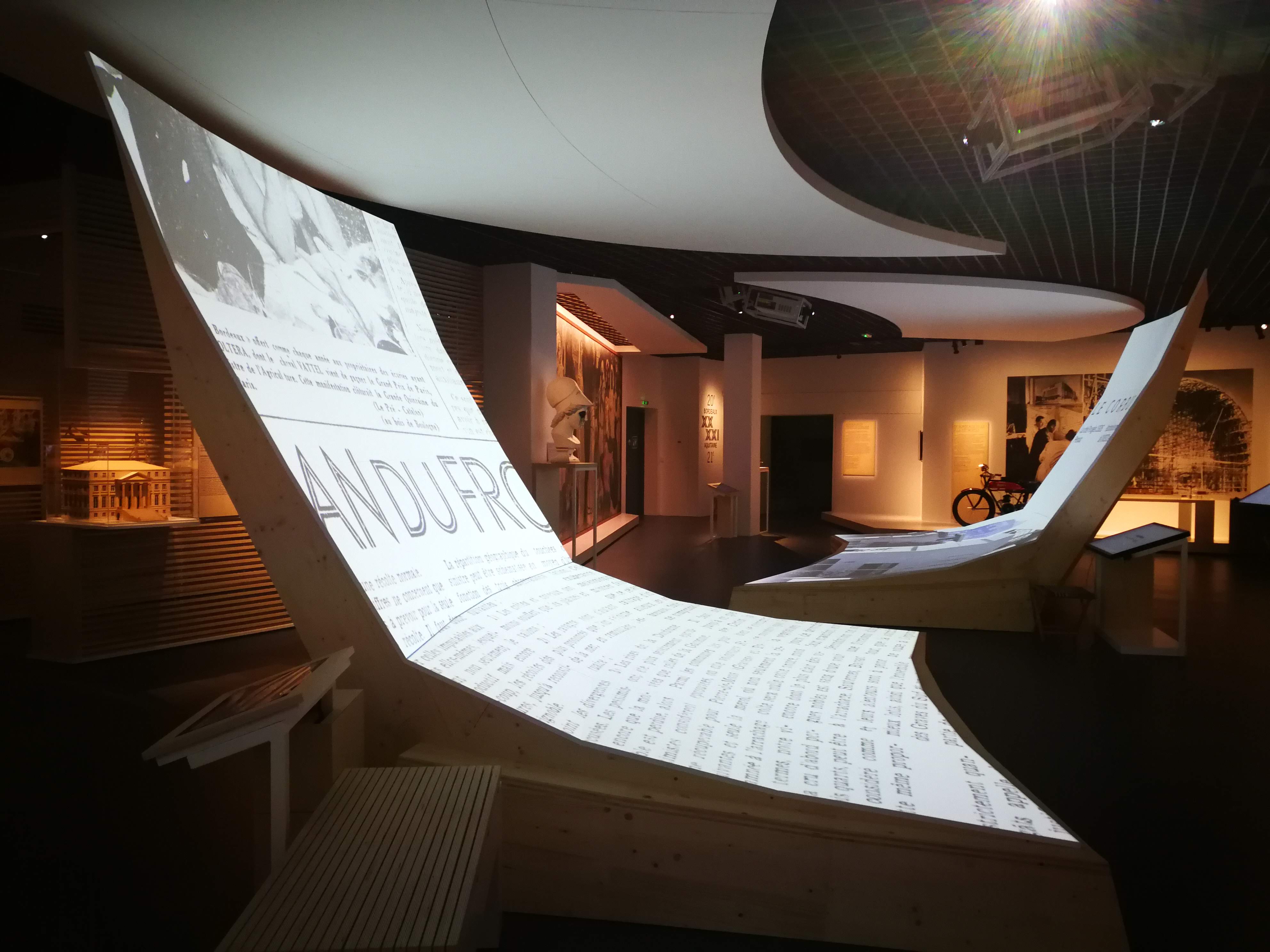
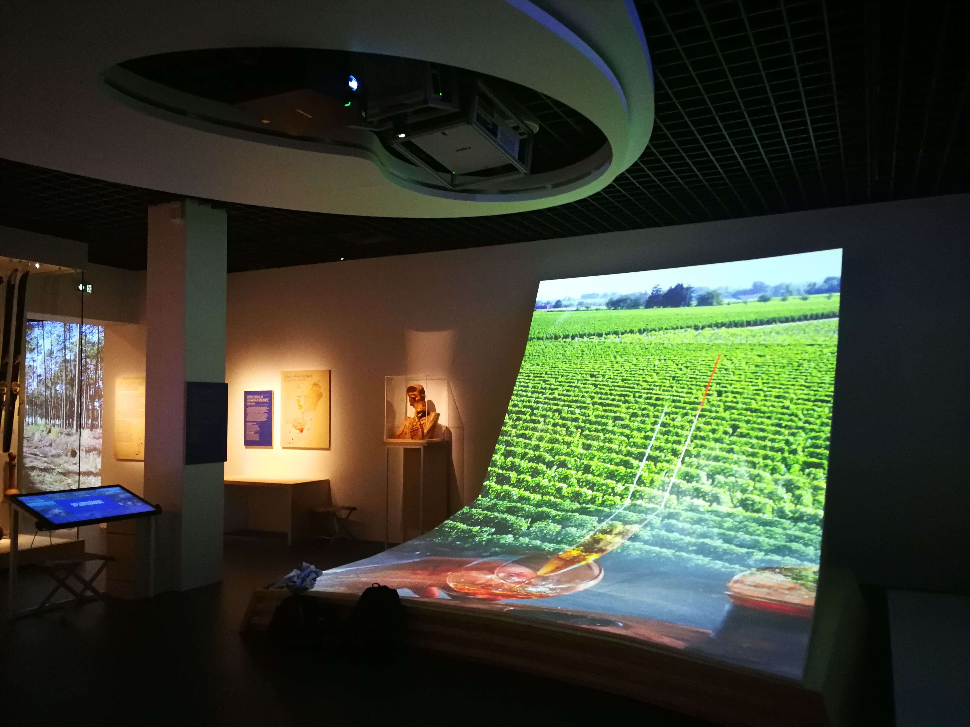
All spaces from these new rooms are punctuated by large format projections and sound effects.
Project
Musée d’Aquitaine, salles du XX et XXI ième siècles
Location
Bordeaux, France
Category
Museum
Opening
March 2019
Client
Bordeaux Métropole
Surface m²
1850 m2
Scenographic cost € HT
2.500.000 €
Scope of work
Audiovisual and multimedia engineering from conception to inauguration.
Partners
Scenography : Métamorphose - François Payet
Lighting design : Agence ACL
Graphism : atelier k.ro.line
Audiovisual Integration : Videlio
Audiovisual production : Mardi 8
Photographs: © Métamorphose
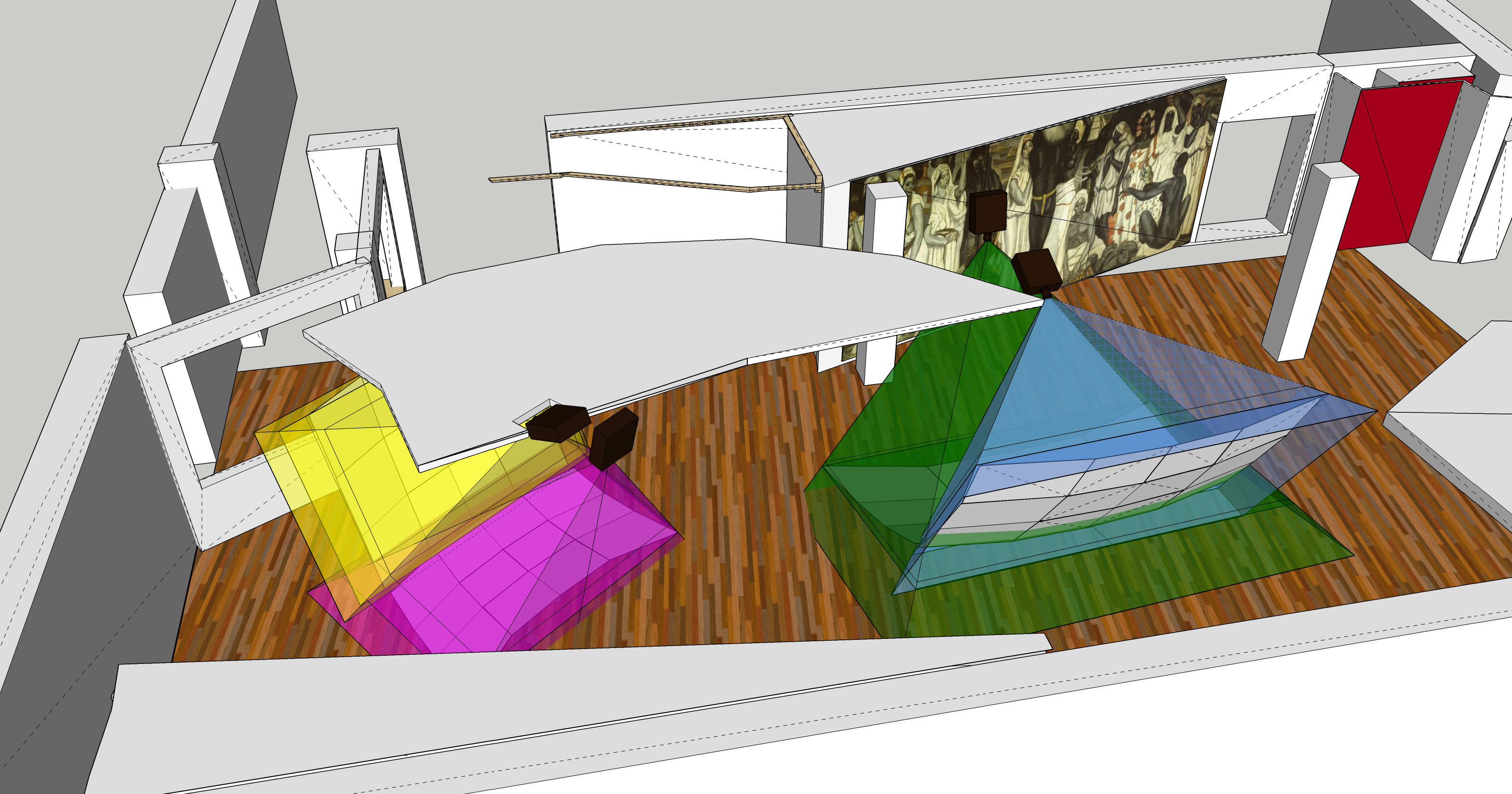
Three spectacular, immersive and interactive mappings are applied on a particular furniture composed of facets. Each of these bases are higher than 5.00 m. These projections are controlled by visitors via touch screens. The projected contents are such a geographical database of the territory type of Google Earth. These large satellite maps move laterally slightly, rotate in orientation, zoom in and. The maps projected on the horizontal plate, are informed by a certain number of legends, pictos, zoning which were drawn by the digital graphic designer. These legends are organized according to a series of layers in order to create a dynamic composition of presentation in the movement of appearance of the information.
Visitors compose their images by selecting layers from the control screen. The vertical surfaces broadcast crossfades of images related to the selections made by the visitors.
This new museographic space invites you to explore the contemporary history of Bordeaux, regional capital, and the territories that surround it. Conceived as a geographical walk, the exhibition presents the recent history of the city in the 20th-21st centuries, its transformations and its aspirations up to the horizon 2030-2050. Then, beyond the Garonne estuary, we discover the New Aquitaine region and its profound changes.
From Royan to Bidassoa, from the Landes de Gascogne forest to the Cognac vineyards, the landscapes have shaped these lands full of history. The hinterland reveals its singularities: environmental assets, economic and tourist growth, ecological issues, heritage and cultural wealth.
Sculptures, paintings, ethnographic objects and models testify to the diversity of the territories. In addition to the "treasures of Aquitaine", the public can also find the four spectacular paintings of the Athenaeum which have been restored and are finally reunited.


